Welcome to Webland
In order to change the map, or claim a plot for yourself, simply click on the desired square, and submit the form for changing land. Changes are handled automatically, and are immediately visible.
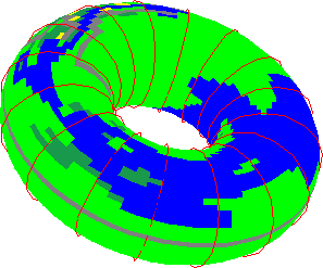
Web Land is actually a torus, that revolves and rotates as shown in this MPEG (380K) created by John Bomberger using matlab and a matlab-to-mpeg movie converter.
Clicking on the direction names above the map will allow you to move around the map to the North, South, East or West.


 Web
Land
Specs
Web
Land
SpecsComments? send mail to crews@corona.ece.ucsb.edu